About Prompt
- Prompt Type – Dynamic
- Prompt Platform – ChatGPT, Grok, Deepseek, Gemini, Copilot, Midjourney, Meta AI and more
- Niche – Land Use Monitoring
- Language – English
- Category – Environmental Monitoring
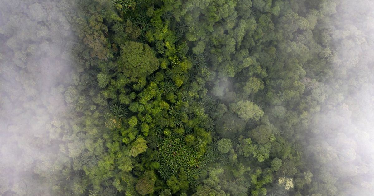
- Prompt Title – AI Prompt for Detecting Illegal Deforestation Activities via Satellite Images
Prompt Details
**Prompt Objective:** To identify and analyze potential illegal deforestation activities using satellite imagery for environmental monitoring and land use change detection.
**Target Audience:** AI image analysis models across various platforms, including but not limited to computer vision APIs, deep learning models, and geospatial analysis platforms.
**Prompt Structure:**
This prompt utilizes a dynamic structure allowing for customization based on the specific satellite imagery and location being analyzed. Replace the bracketed placeholders with the appropriate information.
“`
Task: Detect and analyze potential illegal deforestation activities within a specified region using provided satellite imagery.
**1. Input Data:**
* **Imagery Source:** [Specify the satellite imagery source, e.g., Landsat 8, Sentinel-2, PlanetScope]
* **Acquisition Date(s):** [Specify the image acquisition date(s), e.g., YYYY-MM-DD, YYYY-MM-DD to YYYY-MM-DD]
* **Geographic Coordinates (Bounding Box):** [Provide the bounding box coordinates of the area of interest, e.g., (latitude1, longitude1), (latitude2, longitude2)]
* **Cloud Cover Threshold:** [Specify the acceptable cloud cover percentage, e.g., <10%]
* **Existing Land Use/Land Cover Data (Optional):** [Provide a link or file path to existing land use/land cover data for the area, e.g., shapefile, GeoJSON]
**2. Analysis Tasks:**
* **Change Detection:** Identify areas of significant forest loss between [start date] and [end date]. Prioritize recent changes. Utilize [existing land use/land cover data, if provided] as a baseline. Quantify the area of forest loss in hectares or square kilometers.
* **Pattern Recognition:** Analyze the spatial patterns of forest loss. Look for characteristics indicative of illegal deforestation activities such as:
* **Geometric Shapes:** Identify regular shapes (e.g., rectangles, straight lines) that may suggest planned clearing as opposed to natural disturbances.
* **Road Proximity:** Analyze proximity to roads and infrastructure. Illegal deforestation often occurs near access points.
* **Fragmentation:** Assess forest fragmentation and edge effects. Increased fragmentation can indicate ongoing encroachment.
* **False Positive Mitigation:** Consider factors that can mimic deforestation, such as:
* **Seasonal Changes:** Account for seasonal variations in vegetation cover.
* **Natural Disturbances:** Differentiate deforestation from natural disturbances like wildfires, insect infestations, and landslides. [Provide any available information on known natural disturbances in the area].
* **Agricultural Practices:** Differentiate legal agricultural activities (e.g., permitted logging, crop rotation) from illegal deforestation. [Provide any available information on legal land use permits or agricultural practices in the area].
**3. Output Requirements:**
* **Visualizations:** Provide visualizations highlighting detected changes, including:
* **Change Maps:** Display areas of forest loss using a clear color scheme.
* **Annotated Imagery:** Overlay detected change areas on the original satellite imagery.
* **Spatial Pattern Analysis Visualizations:** Visualize the spatial patterns of detected changes, e.g., proximity to roads.
* **Quantitative Data:** Provide a summary of the analysis, including:
* **Total Area of Forest Loss:** Quantify the total area of forest loss in hectares or square kilometers.
* **Confidence Level:** Provide a confidence level or probability score for detected changes.
* **Location Information:** Provide the geographic coordinates of detected deforestation activities.
* **Data Format:** Provide output in a format suitable for further analysis and reporting, such as GeoJSON, shapefile, or CSV.
**4. Optional Enhancements:**
* **Time Series Analysis:** If multiple images over time are available, perform a time series analysis to track deforestation patterns and rates.
* **High-Resolution Imagery:** Utilize high-resolution imagery (if available) to validate detected changes and provide more detailed information.
* **Machine Learning Models:** Employ specific machine learning models or algorithms designed for deforestation detection (e.g., convolutional neural networks, object detection models) if applicable to the chosen platform.
**Example specific instructions for Google Earth Engine:**
* Use the `ee.ImageCollection()` function to import the specified Landsat or Sentinel-2 imagery.
* Apply cloud masking using the `ee.Algorithms.Landsat.simpleCloudScore()` or `ee.Algorithms.Sentinel2.S2Clouds()` functions.
* Use the `ee.Algorithms.ChangeDetection.detectChange()` function or similar methods for change detection.
**Note:** Adapt these instructions for the specific AI platform being used.
```
This dynamic prompt structure allows for adaptability and customization based on the specific satellite data and analysis requirements. By providing clear instructions and specific parameters, it maximizes the effectiveness of AI models in detecting and analyzing potential illegal deforestation activities for environmental monitoring purposes.